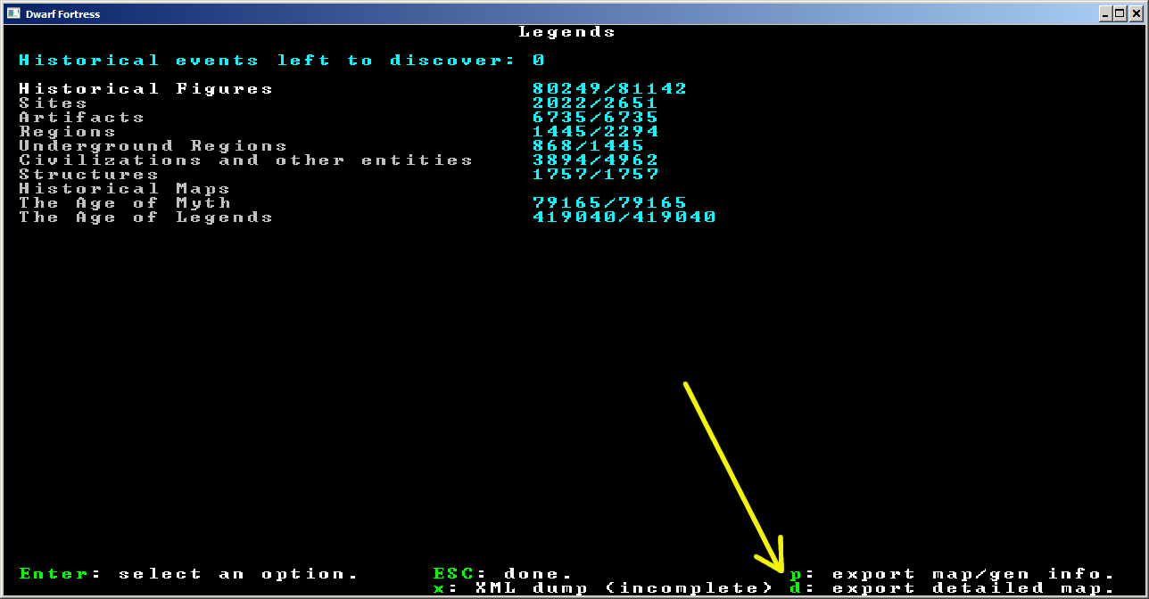
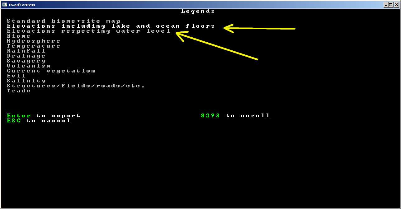
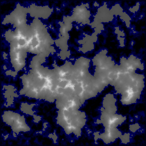
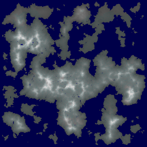
Is there anyone way to access the topographical map created during world generation?
During in-game play it is easy to see if a piece of outside land is up-slope or down-slope. And in-game you can easily view higher and lower levels in your mountain fortress. What I need is some way to access information on the topology of the generated world. This would allow me to create a 3D map (think Minecraft or Oblivion) of the outside world.
For the moment, I don't care if the game is playable in this way. Don't worry about that. I just want to be able to see these wonderful worlds I am generating.


